In recent weeks, Americans have weathered Harvey, then Irma, and now this map of Hurricane Jose's path shows that it could reach the U.S. too. Meteorologists have been closely tracking Jose's movement in the Atlantic and they have some theories about where it will go next. While there are a number of courses that this storm could take, an impact with the Eastern U.S. is not out of the question — though it is unlikely.
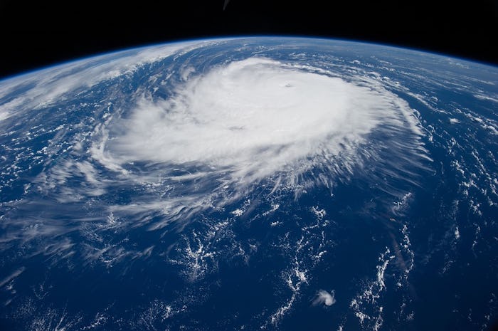
According to Accuweather, Jose is currently in the western part of the Atlantic Ocean about 300 miles northeast of the Turks and Caicos islands. Reports from Tuesday morning had its sustained windspeed at 105 mph, classifying it as a Category 2 hurricane.
Over the weekend, Jose neared the Caribbean islands of Barbuda, Antigua, and the Virgin Islands, all of which suffered greatly when Hurricane Irma made landfall there. Many of the smaller islands throughout the Caribbean are only just beginning to assess the damage caused by Irma, while others have reported deaths and extensive loss of property. Fortunately, Jose did not move onto the islands and cause further destruction.
Rather than move inland, Jose has continued to spin in the Atlantic and is expected to move to the north some time next week. Many hurricanes that linger in this area tend to head further out to sea and lose their momentum, but this is not expected of Jose.
The National Hurricane Center stated that Jose has an "odd forecast track," and should continue making a small clockwise loop over open ocean for the next three days or so. The explanation for this rotation is an area of high pressure that is expected to move around the storm during this time. Due to this movement, AccuWeather Hurricane Expert Dan Kottlowski said that Jose should remain a lower category hurricane or strong tropical storm over the next week:
The storm will remain over warm water for the next several days, and this should allow it to maintain a robust circulation.
There are a number of models, showing a number of potential paths for Jose ranging from South Carolina to as far north as Newfoundland. The Weather Underground stated that some long-range models have the storm moving west-northwest to the East Coast. Kottlowski also speculated on where the storm would head, seeming to agree with the long-term projections:
Jose is expected to remain between Bermuda and Hispaniola for the next several days but then eventually move westward late this week and then more northward this weekend.
Other models have posited paths that will spare the U.S. any contact with Jose at all. The Global Forecast System performed 20 paths of the storm on Monday morning; 25 percent predicted that the storm would eventually reach the U.S., another 25 percent had it heading to Canada, and the other half resulted in it staying out at sea.
Weather Underground meteorologist Jeff Masters noted, however, that these early projections are likely to be inaccurate:
Until Jose is farther along on its loop, the models are likely to have large errors, and we should not take too much comfort — or indulge in too much angst — over a particular set of model runs.
As far as the strength of Jose, the National Hurricane Center is predicting it to be a Category 1 hurricane with winds around 90 mph by Saturday. It will not make landfall until next week, though, so that could still change. For now, the only anticipated impact of Jose is rough surf and potential rip tides for the next few days in Hispaniola, the Bahamas, and the Turks and Caicos Islands.
The good news coming out of all of this meteorology is that the U.S. is unlikely to be hit by another powerful hurricane like Harvey or Irma. If Jose does reach American soil — and that's a big if — it will be a much smaller storm. Still, it never hurts to be prepared and stock up on bottled water before it reaches $90 a case.
